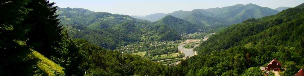
THE SIRET RIVER
The Siret river is a left tributary of the Danube starting from the confluence of Buretski and Cheremosh mountain sources next to Petrovets village in Chernivtsi oblast. In its upper section (to Beregomet settlement) it’s a typical mountain river but down the stream it gains submountain and lowland features with a wide valley, which is swampy in some places. The Siret flows into the Danube 187km from its outflow next to the Rumanian city of Galaţi. The river length is 513 km, the water catchment area is 47600km2. The general fall is 435m, the mean slope makes 4.40/00. The tortuosity coefficient is 1.92.
A considerable part of the Siret basin (41% from its total area) is covered with forests. Up to 600m the foothills and mountain slopes are covered with oak forests, starting from 1000m beech forests prevail.
Some mountain tops are open and named "polonyna” (a subalpine meadow). At the lowland part the forest has been saved only at some places, the rest of the territory has been ploughed up or is covered with meadows.
GALLERY (click photos to enlarge)
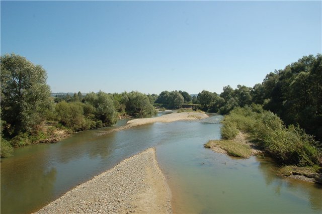
 | The Siret near Storozhynets |