THE PRUT RIVER
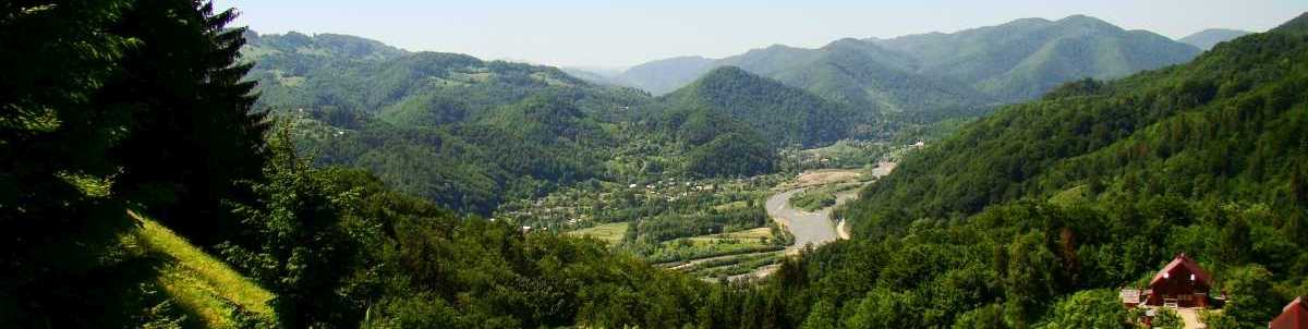
The Prut basin starts on the South-Eastern slope of the Hoverla mountain (Ivano-Frankivsk oblast) 15km to the North-West from Vorokhta settlement in Chornohory mountain mass of the Wooded Carpathians. The river valley is wide and covered with stones and sand. Valley slopes are tilting. The Prut flows into the Danube from the left side 164km from the outflow, 0.5km to the South-East from Giurgiuleşti village. The river flows through Ivano-Frankivsk and Chernivtsi oblasts of Ukraine. The river is 967km long, the catchment area makes 27540m2. The general fall is 1577m, the mean slope makes 1630/00. The tortuosity coefficient is 2.10.
About 35% of the Prut valley are covered with broad-leaved and coniferous forests. The foothills are covered with oak and hornbeam forests, where the winter oak typical for Western Europe grows next to the summer oak and the Western-European beech.
Lower mountain slopes (300-600m) are covered with wide-leaved forests of the summer oak, hornbeam, beech, maple, lime tree with additions of the fir-tree and silver fir. As the forest go higher (600m) the beech becomes dominating and the role of coniferous trees increases (above 1250m). Fir-tree forests become dominating on the level of 1600m. Subalpine meadows and bushes of the European green alder and pine-tree are spread over mountain tops.
Key tributaries: on the right – the Lyuchka river (42km), the Pistynka river (57km), the Rybnytsya river (56km), the Cheremosh river (80km), the Dereluy river (34km); on the left – the Turka stream (40km), the Chernava river (63km), the Beleluya river (30km), the Sovytsya stream (39km) and others.
Also see rafting
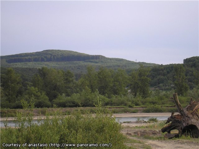
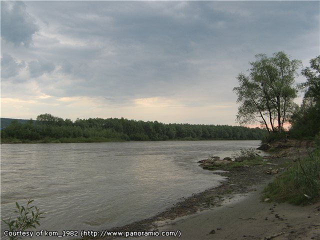
GALLERY (click photos to enlarge)
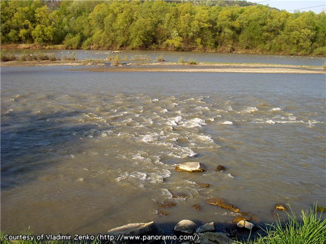
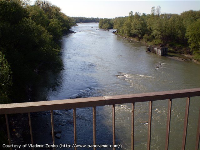
 | The Prut in the Carpathian foothills |
 | Remains of an old bridge |
 | A good place for fishing bleak |
 |
 |
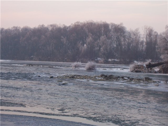 | The Prut in the winter |