THE DNISTER RIVER

The Dnister basin occupies the South-Eastern part of Ukraine and the Eastern part of Moldova covering a considerable part of the territories of seven Ukraine’s oblasts (Lviv, Ivano-Frankivsk, Chernivtsi, Ternopil, Khmelnytskiy, Vinnytsya and Odessa) and the greatest part (59%) of the Republic of Moldova. The territory of the Dnister basin includes 69 cities and towns and 127 settlements of which 62 cities and towns and 95 settlements are on the territory of Ukraine.
The head and the outflow of the Dnister are located on the territory of Ukraine. 225km of the river make the border between Ukraine and Moldova and its 475km-long section is on the territory of Moldova.
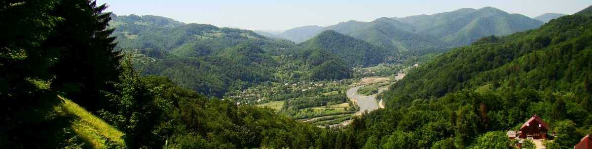
The Dnister head is near Ukraine’s border with Poland on a Carpathian slope (Rozluch mountain in Lviv oblast). The true altitude of the head is 760m. The first several kilometers of the river are a little stream wimpling through the forest. Near the Strilky waterfalls (the first one on the river) it becomes a considerable flow, 10-15m wide and 0.5m deep. Below Stariy Sambir town the Dnister leaves the mountain area and gains the features of a semi-mountain river. The bed width increases up to 30m and the depth becomes 0.8-1m.
The total length of the Dnister is 1352km, 912km (67%) of which are within Ukrainian borders. The river flows into the 40km-long and 12km-wide Dnister estuary. The catchment basin area makes 72900km2, 53490km2 or 73% of which are located in Ukraine. This is the second river in terms of water content with the catchment area totaling 9% from the whole territory of Ukraine. The average slope is 56cm/km.
GALLERY (click photos to enlarge)
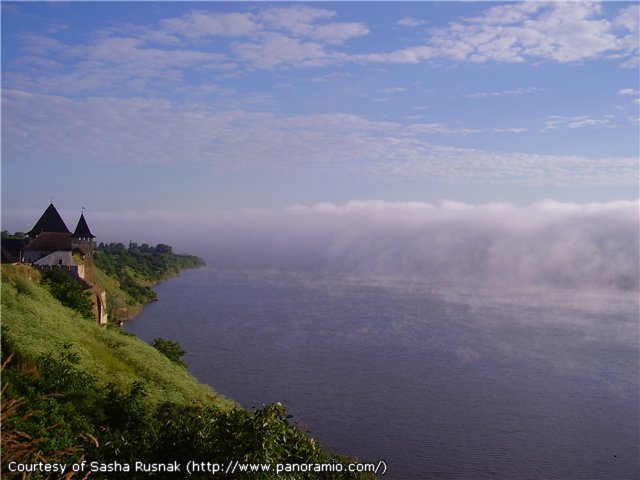 | Flowing near Khotyn fortress |
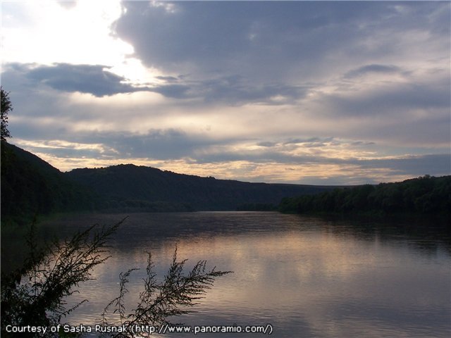 | The sunset |
 | The Dnister near Zalishchyky |
 | So magnificent... |
 |
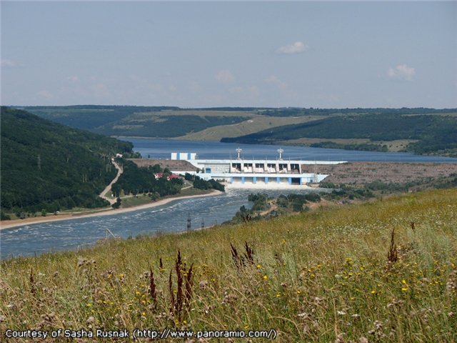 | Dnistrovska Power Plant |
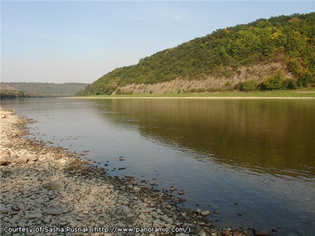
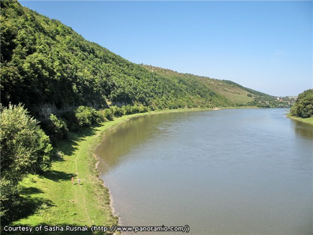 | At some places the right bank is very high |