THE CHEREMOSH RIVER
The Cheremosh (Ukr. and Rus. "Черемош”, Rum. "Ceremuş”) is a river in Western Ukraine, the Eastern Carpathians (Wooded Carpathians), a right feeder of the Prut river (the Danube basin). The river is 80km long, the basin area makes 2560km2. The Cheremoch is a typical mountain river with fast current between 8 and 20km/h, the slope is 3.3m/km, the total level difference is 280 m. The flow rate makes 26.6m3/sec.
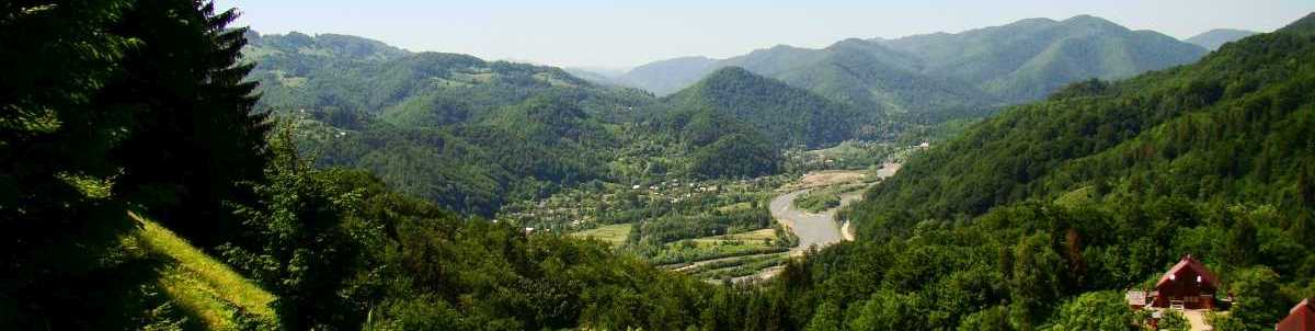
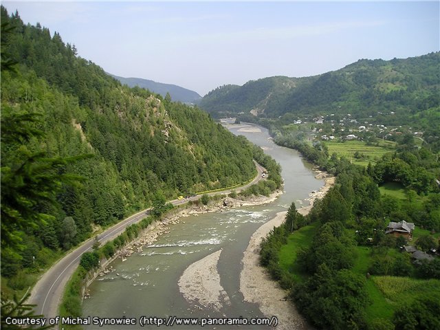
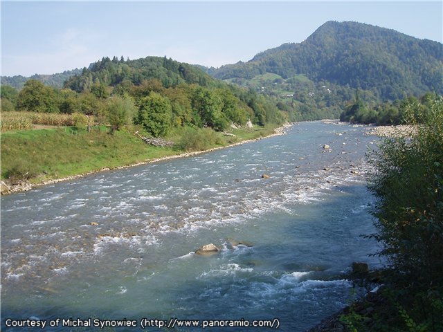
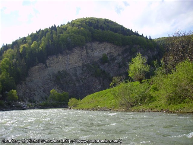
The river bed is moderately winding, the average bed width is 15 to 25 m, the extreme width is 44m. The Cheremosh has a number of rapids (water drop up to 1.6m) and chutes. It flows through a deep, narrow valley (the width ranges from 80-120 to 350m) with steep rocky slopes, has bed turns and narrowings, shallow rifts with rocky bottom.
The Cheremosh starts from the confluence of the Black and White Cheremosh rivers next to the Usteryky settlement. After the Putylivka junction the river changes its direction from Eastern to North-Eastern and goes down from the mountains into the Prut valley near Kuty and Vyzhnytsya. Within the Ciscarpathian region the river flows through a wide valley. Here the current speed drops down to 8km/h, rapids disappear. Next to Snyatyn the Cheremosh falls into the Prut.
The river flows through the territories of Ivano-Frankivsk (Verkhovyna, Kosiv and Snyatyn districts) and Chernivtsi (Putyla, Vyzhnytsya and Kitsman districts) oblasts also serving as a border between them.
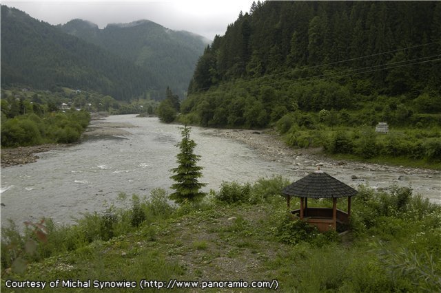
The riversides are wooded. The valley forest is deciduous becoming coniferous in upper parts. Forests are full of dewberry, raspberry, strawberry.
Also see raftingGALLERY (click photos to enlarge)
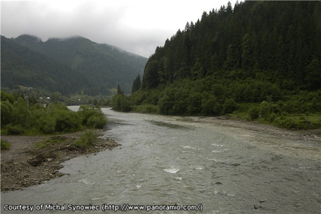
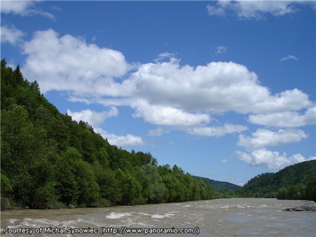 | The stream is fast here |
 | ...the banks are steep |
 |
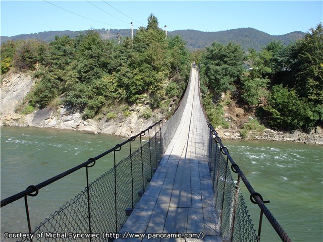 | A suspension bridge near Vyzhnytsya |
 |
 | The confluence of the Black and the White Cheremosh |
 |
 |